
hiking social gatherings
What better way to spend your weekend than outdoors, soaking in the sunlight and taking in all that nature has to offer.
At Hardcore Fitness we offer hiking socials to both members and non-members at no cost (other than entrance fees where applicable). We have highlighted some of our hiking trips to give you information about various trails as well as the hiking experiences.
Feel free to join us or make a trip on your own with your family and friends! Please contact the hiking venues directly should you have any additional questions regarding routes and facilities. We will leave their contact details in the posts.
Hardcore Fitness Upcoming Hiking Events
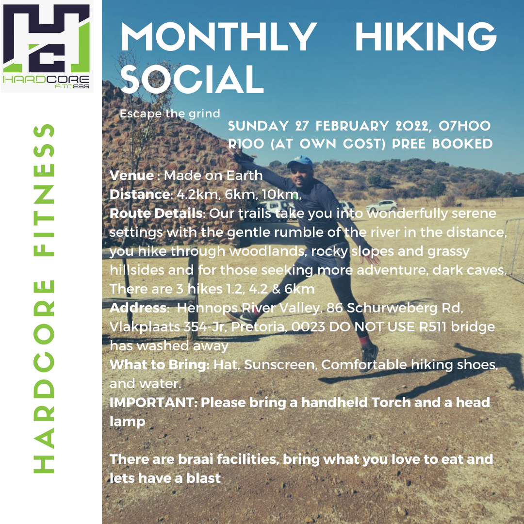
Next event
Escape the grind with us
Date: Sunday, 27 February 2021
Venue: Made On Earth
Address: Hennops River Valley, 86 Schurweberg Rd, Vlakplaats 354-Jr, Pretoria, 0023
Hardcore Fitness Hiking Blog
Suikerbosrand - Tuin van Eden
Catherine Kapanga
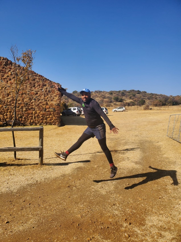
Nestled in a beautiful valley in Heidelberg we located Tuin van Eden. We noted that this property is a wedding venue with camping and overnight stay facilities. The drive from Johannesburg took approximately 1 hour 8 minutes to arrive. The main road to the venue was straight and smooth with no major obstructions. Please note that there is a dirt road that runs for about 1km before you arrive at the gate. We were able to drive in with a small sedan therefore your lowriding car should be able to make it with no major disruptions.
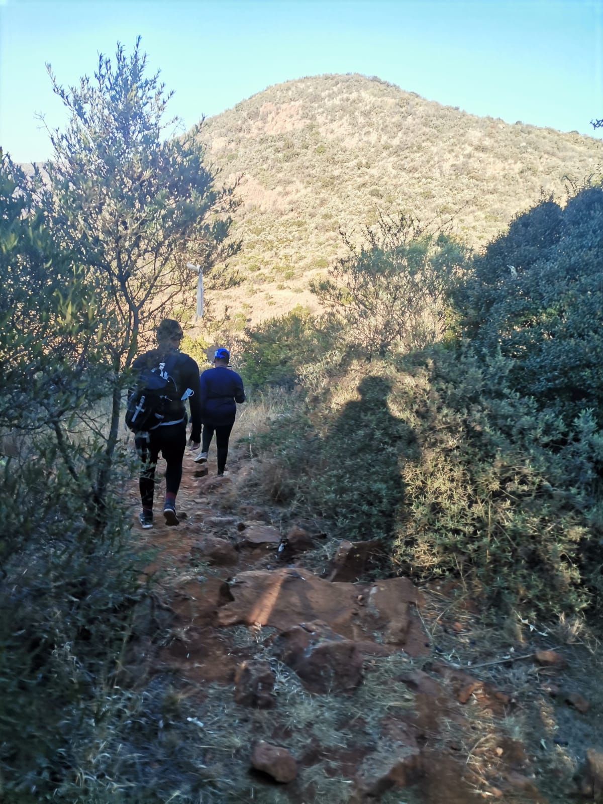
Upon arrival at 7am, we entered a gate code that had been sent to us on Whatsapp before arrival. Please note that it is important to contact the accommodation and book your hiking trip in advance. In the Whatsapp message we received our booking reference, route information as well as costs and banking details should we choose to pay via EFT. Keep this information on hand because you will need it to gain access to the property.
Once we drove in, we made our way to the parking lot which was marked. The reception building houses both a small restaurant as well as a canteen where you can buy snacks and water before your hike. So, if you forgot to pack some chocolate or drinks don’t despair! We signed our group in and listened to a short briefing regarding the route. It's very important to pay close attention because we found out that the route wasn’t as straightforward as we initially thought. We may have missed a few turns and often found ourselves questioning if we were on the right path.
The hike starts at the main gate of the parking lot with a slight gradient uphill. At the top of the hill, we located a viewing point that overlooks a small valley in the mountains. After taking (numerous) photos we made our way back to the main route. After walking a few meters on flat ground, we followed a path that started taking us down into the valley. The walk down the mountain was quite rocky so be sure to pay attention to where you are going and take extra care. There are route markers on the tree with various colours to guide you to make sure you are still on the allocated path. Once we reached a viewpoint close to the bottom of the valley, we decided to continue along the mountain instead of walking down to the bottom of the valley to the river.
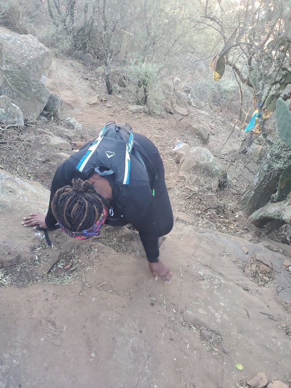
The hardest point of this trail was walking back up the mountain to reach the exit. The trail has quite a steep gradient that required our hikers to use their hands to hold on and climb up. As technical as this was it was quite enjoyable and a much-needed workout! Once you reach the top you feel quite accomplished! Once we reached the top we got quite confused with the signage and I believe this is where we got off track. There were a few route markers with different directions but we weren’t sure which way to go to complete the 5KM we initially set out for. Long story short, we ended up way off track and made our way to the start point/car park.
Unfortunately, we didn’t complete the full 5KM which we set out for, but the route we took with all its technicalities and difficulties was more than enough for our team. We highly recommend making your way to Tuin van Eden for a weekend adventure. They do offer other activities such as mountain biking, 4x4 trails as well as braaiing.
For more information, please book and contact using the following email address: vandyk.pierre@gmeil.com
Kings Kloof Farm
Catherine Kapanga
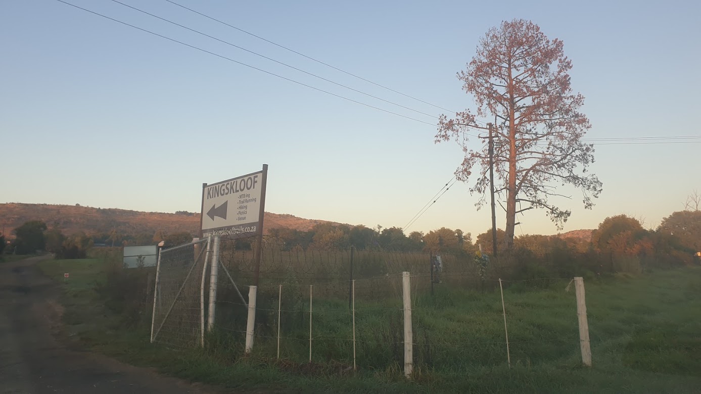
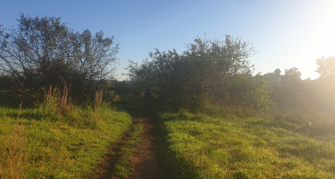
Kings Kloof serves as a personal favourite for the Hardcore Hiking group. Our group has visited this farm 3 times throughout the past few months. Nestled in the quiet and scenic area of Krugersdorp, this farm is what we would call Roodeport’s best-kept secret. Less than an hour’s drive away from Johannesburg, we stumbled across this hiking venue when looking for new hiking spots in Johannesburg. Since locating this hiking spot, we have been recommending it to both family and friends who are looking for a quiet getaway with trails to suit all fitness levels and ages. Honestly, the best thing about this hiking spot is the variety of trails that allow you to choose a distance that suits you with an option to escape the route should the trail become too technical.
Upon arriving at the venue, you can be ushered into the car pack by workers at Kings Kloof. The visibility of car guards gives you peace of mind, knowing that your vehicle is safe in the enclosed parking area. Once parking, you make your way to the little shed where you pay for entrance and receive a yellow wristband to show that you’ve paid. There are memorabilia items such as T-shirts as well as caps available at the shed should you wish to purchase those items. Additionally, they also sell snacks, coffee as well as handmade hiking sticks made from wood. The starting point of the hikes is located next to the shed in the parking lot.
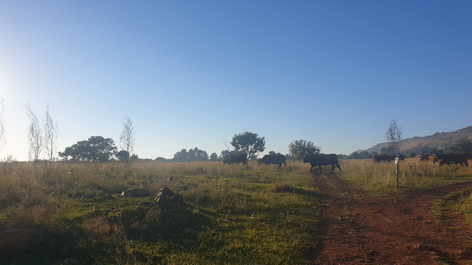
Please be careful when crossing over to the start point of the hike as some cars pass this route to enter another parking area. Once you’ve crossed over the hike starts in a small open field that leads to a dirt road alongside the main road. The start is a low gradient and if you are a beginner, it’s important to pace yourself to catch your breath. You then turn right into the field which is what I consider the “real” start. The first time we visited this hiking trail we were met with numerous cattle which were crazing. We decided to make our way around them as to not disrupt their feeding time. Some of our members may have been scared but we will stick to the story of not wanting to disrupt the cattle 😊 They seemed harmless for the most part and I doubt they would do any harm considering you do not provoke them. After we passed the cattle, we walked through the field with views of the lake as well as surrounding mountains. The trail does loop quite a bit so be sure to stay on track and fight the urge to jump ahead without following the route markings.
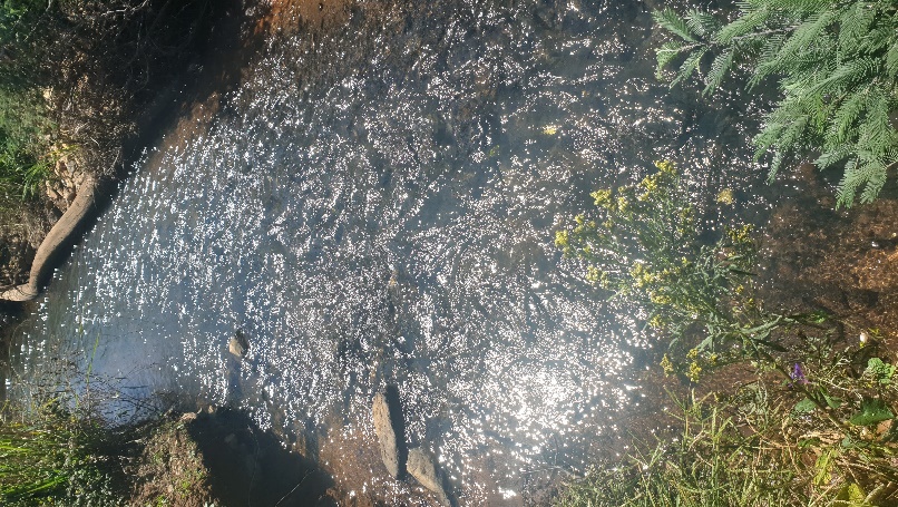
After winding through the field, we found ourselves descending into a shaded forest surrounded by trees. If you were walking in the sunshine this part of the trail provides some shaded and cool relief from the heat. As you walk through this forest area you reach a stream that is adjacent to the trail. We often see people resting, taking pictures or stopping to take in the scenery at this spot. Now comes my favourite part, to continue the trail, you need to pass by a small bridge to get to the other side. If you are afraid of brides, make sure to have a stick to help aid you to get across. Balance is key when crossing this bridge.
After the bridge, you continue on the walk until you reach a T-junction. Here you can choose to continue with the trail or take a shot’left to the famous waterfall. On two occasions, the team chose the path to the waterfall to see if it was worth the hype. The first time on the route we ended up turning back because the path was a little muddy and we weren’t willing to get out feet wet so to speak. The second time we visited, the weather was perfect, the trail was dry and we made our way happily to the infamous waterfall. After visiting the waterfall for the first time, I have to say it is a must-see for anyone who visits this venue.
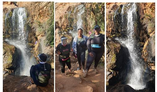
The sound of water splashing on the rocks in the distance is heavenly for any nature lover and hiking enthusiast. Once you get to the area surrounding the waterfall, you can walk down designated stairs to the water below and take some pictures, relax with your friends or take in the beautiful scenery.
If you choose not to walk down the stairs, you can make your way up a slight gradient where you will reach the “entrance” to the waterfall. I am sure many of you have seen amazing shots of people right under the waterfall taking amazing pictures! We however were not feeling adventurous to get up close and settled for pictures on the rocks in front of the waterfall. I say settled, but the experience was still definitely worth it! After having our mini photoshoot, we made our way back to the T-junction and continued with the trail. At this part of the trail, you are in an open field surrounded by trees, flowers and the beautiful scenery of the mountains up ahead. Mind over matter is important here as there are some very slight inclines and the long straight walk can make some people disheartened (remember the purple trail option for people who want out still stands). To be honest, the group always sets out to complete the blue trail, however, I think at some point we always make our way back to the start once we feel we have reached our limit. Although we check out early, our fitness trackers still record that we have completed over 12km of walking which still makes us feel accomplished!
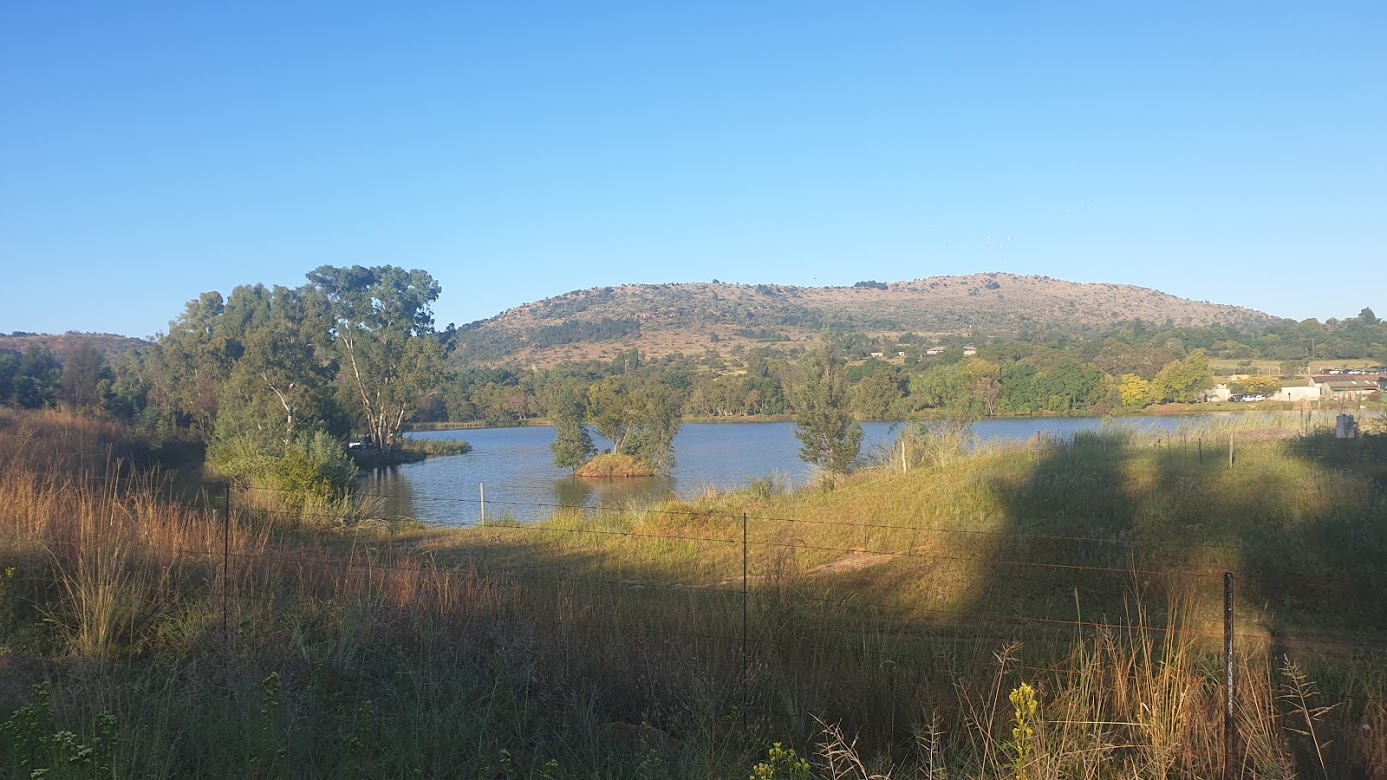
The walk back to the start is beautiful, the area by the water is surreal and looks like an exquisite painting. The area is so quiet, peaceful and calming and gives you time to reflect and take away all the stress from the hustling and bustling of everyday life. To reach the end you have to cross over one small bridge to pass over a small stream. Remember the balancing skills you learnt at the previous bridge to get over this last challenge and you will be fine! There is a small restaurant area that serves pizza as well as a food truck that we have seen on the trips there. Our group has yet to taste the food, however, the workers have assured us that it is fresh and amazing. So be sure to try it out if you are in the area as a victory meal with friends and family.
For more information regarding the venue and hike feel free to email: info@kingskloofvenue.co.za
Africa Land (Phaladingwe Hiking)
Catherine Kapanga
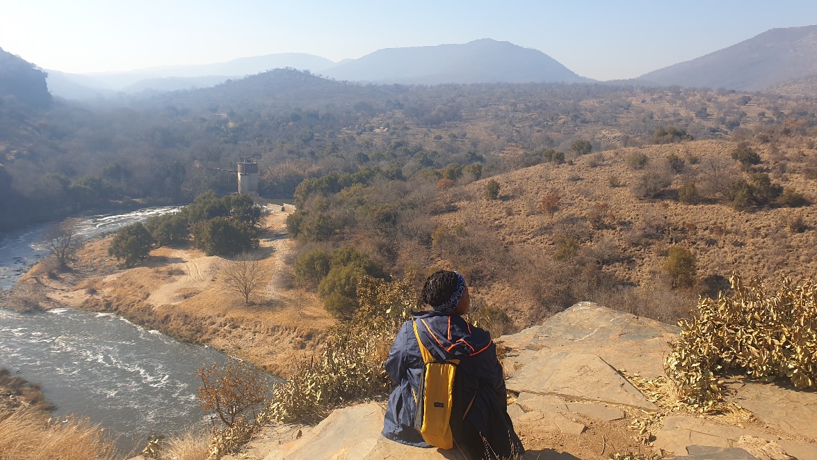
Found on the outskirts of North West Province on the outskirts of Hartebeespoort we located a place called Africa Land. Previously known as Phaladingwe Hiking Trail this adventure did not disappoint. We arrived at the venue at 7 am on a crisp Sunday Morning after confirming our attendance online. At the gate the guard took our details as well as our R80 payments – the website had previously stated the cost was R70 but luckily, we had taken some extra cash. Please be mindful that often prices change so always be prepared and carry more money than you may need. After signing in, he checked our boot, presumably to make sure we weren’t smuggling any extra people so be warned not to bring items that are prohibited.
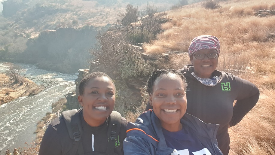
We followed the directions through the dirt road to the designated car park on the property. As always, we were one of the first to arrive; something about the early bird catches the most worms or something along those lines. Once parked we walked through to the reception/restaurant on the property where we were greeted by a warm and welcoming host. She asked if anyone needed the bathroom and directed us to the toilets on the property. Whilst some team members went to the bathroom, the rest were briefed on the route and what it entails. Before setting off, the host offered to take our group picture and we set off on our 6km journey.
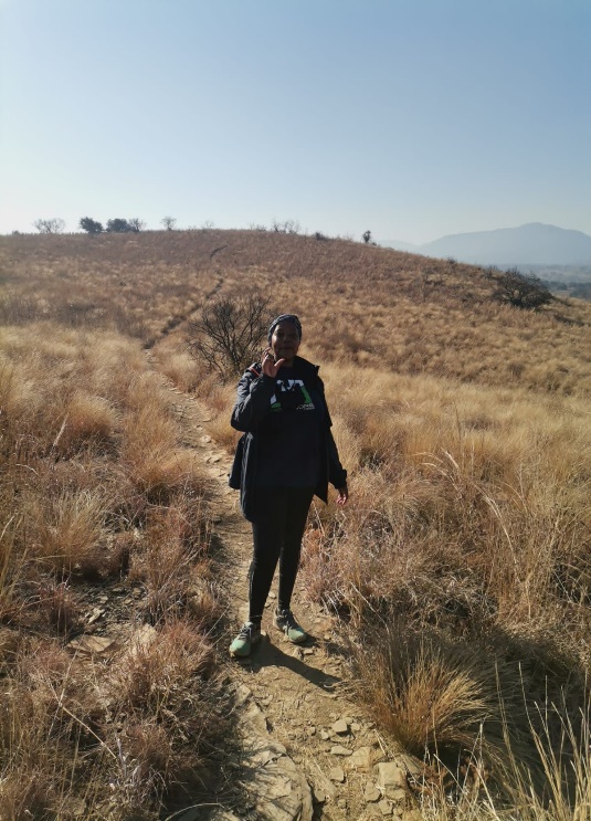
The trail was a bit narrow than I would’ve expected. Therefore, if you are like me and like walking side by side with your friends, please note that they are likely to be walking in front or behind you. We were lucky that it wasn’t too busy when we started hiking so there weren’t people who needed to overtake us. Other than this, the trail was nicely marked and the road was clear to follow. Once we descended for quite a bit, we reached the first viewing point on the trail. This viewing point overlooked the river as well as the bridge in the distance. I thought this was a great photo moment however my Hardcore hiking mates who had visited this trail before assured me that the best was yet to come. I took their advice and took a few shots of the scenery and made my way through the rest of the trail. On the way, I was informed of a ‘beach’ area where I could shoot some content for a video I needed to record. My mind couldn’t comprehend a sandy beach area on a hiking trail so I walked in anticipation for what I would find.
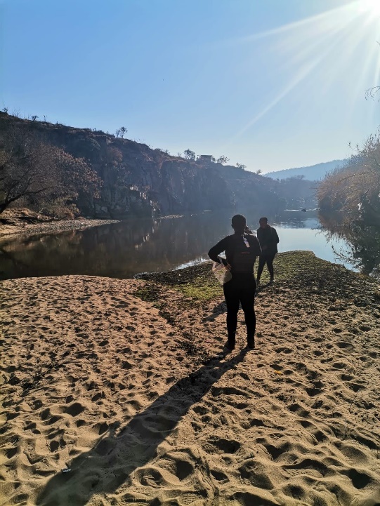
To my surprise, the beach area is what I had imagined (minus the blue ocean, seaside scents and waves). This area filled with beach sand was a great place to take pictures, record content and overlook the beautiful mountain that surrounded it. Please note that because you are technically walking on beach sand, your feet will feel heavier than normal walking through this terrain. So, once we were done taking this all in, we set out for the rest of the trail, little did I know things were about to get quite intense very soon. We walked up and down different terrains and ridges with beautiful views surrounding us. The river down below served as a reminder for us to keep going and walking with the flow of nature. At this point, we were still the only ones on the trail so we stopped at leisure to take pictures, catch our breath and continue our hearty conversations.
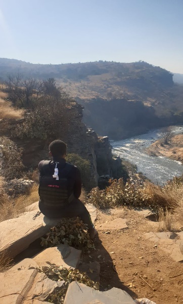
Drum roll, please! We finally reached the viewing point that my team member had mentioned and the views were spectacular. If you want some Instagram worthy hiking shots to showcase the beauty of South Africa, this is one of the best spots. We spend quite some time here taking pictures, relaxing and preparing ourselves for the last stretch of the hike. It was at this point where my teammate mentioned that the last 2km of the hike are the most grueling. As a seasoned hiker, I took this information with a pinch of salt. I mean how bad could it honestly be? I am here to inform you that I am glad I was given this information because you need to mentally prepare for the climb that is before you. The only thing that gave me some peace of mind was the panoramic views that surrounded us. At this point, we weren’t even willing to take pictures though because all our attention was on completing the trail.
Once we finally reached the top of the mountain, we walked on the welcomed flat terrain back to the parking lot. We cheered for ourselves and gave each other compliments for getting through the worst. We walked back to the restaurant and booked a table for our team where a friendly waiter took our orders. On the menu was the infamous post-hiking Africa land beef burger or prego roll. We all ordered burgers and completed a team stretching session to loosen our muscles. This was very important after that long 2km climb uphill. In high spirits, we enjoyed our burgers and planned our next hiking trip before departing hours after we arrived. The scenic drive back to Johannesburg left us feeling accomplished as we reminisced on our morning hike through Africa Land.
Avianto Trails
Catherine Kapanga
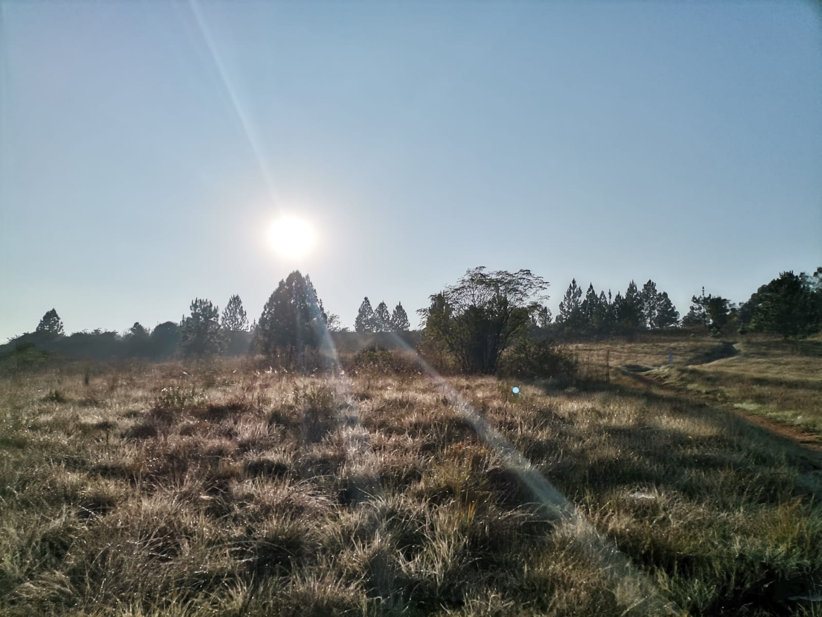
Our Hardcore Hiking Team found this hiking spot almost by “accident”. We were initially on our way to Walter Sisulu Gardens, but on arrival at 7 am we were told that gates only open after 8 am. So, our team member thought fast and remembered that the venue Avianto had a promising trail. We had done a few trails runs in the area a few years ago. We off we went, on this unplanned adventure for the day until we arrived at the venue. The signage getting a bit was confusing, to be honest, but thankfully GPS got us there in one piece. Please also note that the roads getting there close to the venue aren’t the best (hopefully by the time of publishing this blog they would have fixed them). We parked our car in the designated parking and put on our sunscreen and hats (very important for any hiking trip). We then almost ‘guessed’ our way to the reception which ended up being the restaurant/clubhouse.
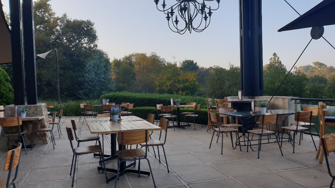
The views and aesthetic are very warm and welcoming and honestly, all we wanted to do was skip the hike and swap the workout for breakfast and coffee at the venue. But alas, we came here for one mission and one mission only and that was to hike! We paid our hiking fee at the restaurant and received pretty cool armbands (I think I kept mine on for the whole day if I am honest).
Once we paid, we were directed to the start point which almost coincided with another race that was currently taking place at the venue. The big board laid out the different routes and difficulty levels in quite extensive detail. It's one of the most informative hiking boards I have seen to date from the various hikes that we’ve completed. Because we weren’t looking forward to a grueling hike that day, we chose a medium length distance that didn’t require too much physical exertion.
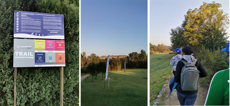
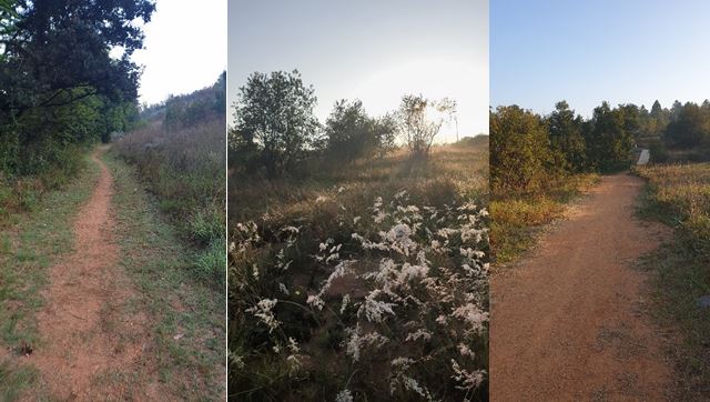
We set off on our 6km hike through the marked path wondering what the road ahead had in store for us. There weren’t any rocky areas on the path we chose and the path was quite smooth thankfully. The trail had a few loops and included areas where you were surrounded by trees as well as open land trails. I would say that the route was quite scenic and we enjoyed the leisurely path that was set out for us. There were one or two steep inclines that required us to catch our breath but other than this I would consider the route that we took as a scenic nature walk and not so much a hike.
I would recommend the route we took for families and groups with children. One of the highlights of the hike is an area that is marked by a small water feature. Our team stopped here to take in the serenity of nature before making our way to the end.
At the time of completing the hike, the restaurant that we were looking forward to was quite full. We hoped that it would empty over some time and decided to walk around and explore. Avianto is full of beautiful gardens and water features that capture the essence of nature. If you love being outdoors surrounded by beautiful views and well-kept gardens this hiking venue is for you. You will find great photo opportunities at every turn. Once we concluded our post-hike walk around the venue, the restaurant was still bustling and we decided to take a raincheck. I, unfortunately, can't talk about the food but by virtue of it being busy, I would conclude that it doesn’t disappoint. So, head out to Avianto if you are looking for a fun-filled day with lots to see and do.
For more information, please visit their website as well as social media sites.
Rustig Hiking Trails
Catherine Kapanga
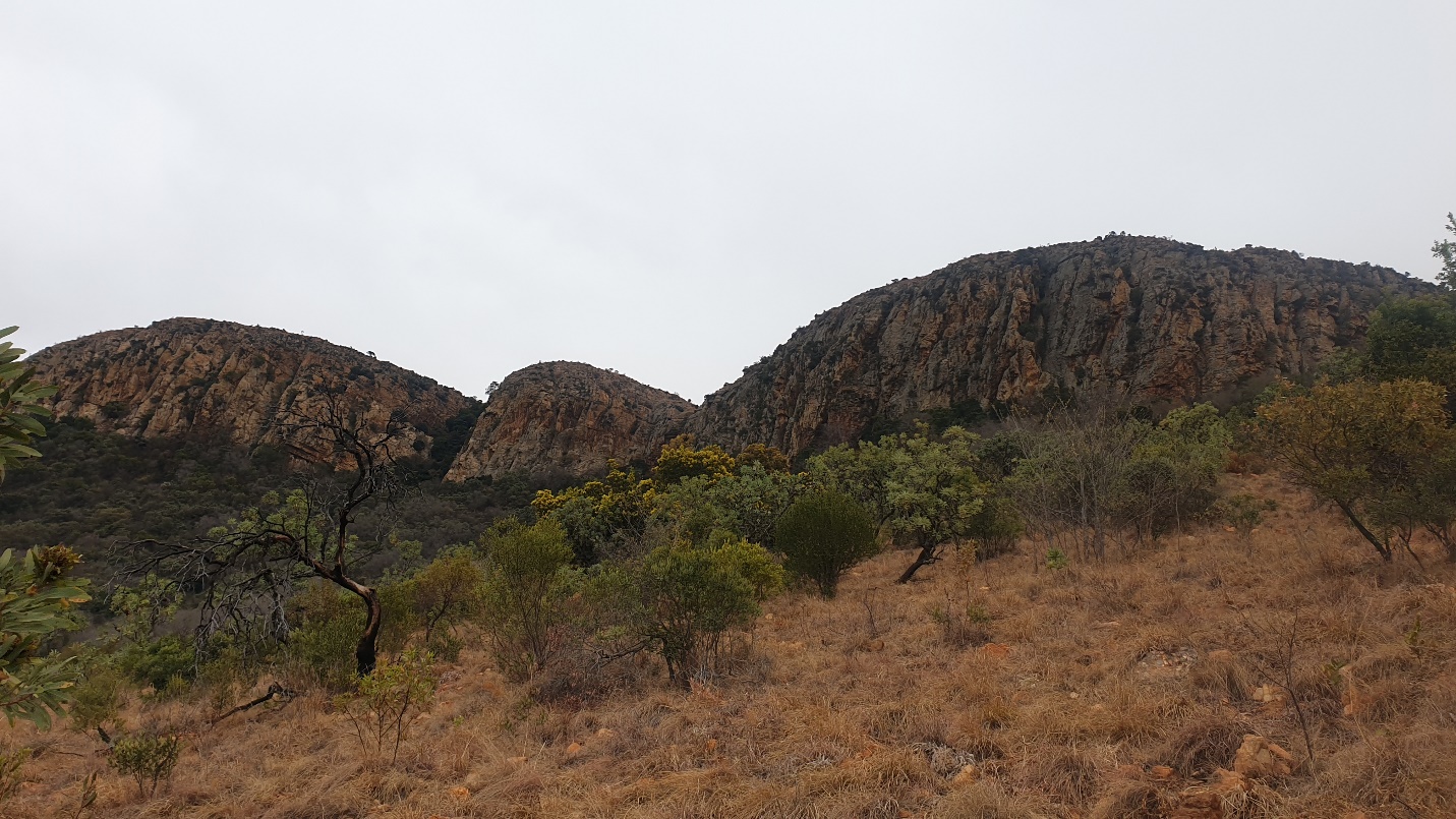
If you are looking to spend the weekend with a great adventure, our team highly recommends you visit the Rustig hiking trail in Magaliesburg. After a few previous challenging hikes, we decided that we were ready to take on the majestic mountains of Magaliesburg. But before we unpack our hiking experiences, let's just tell you the basics.
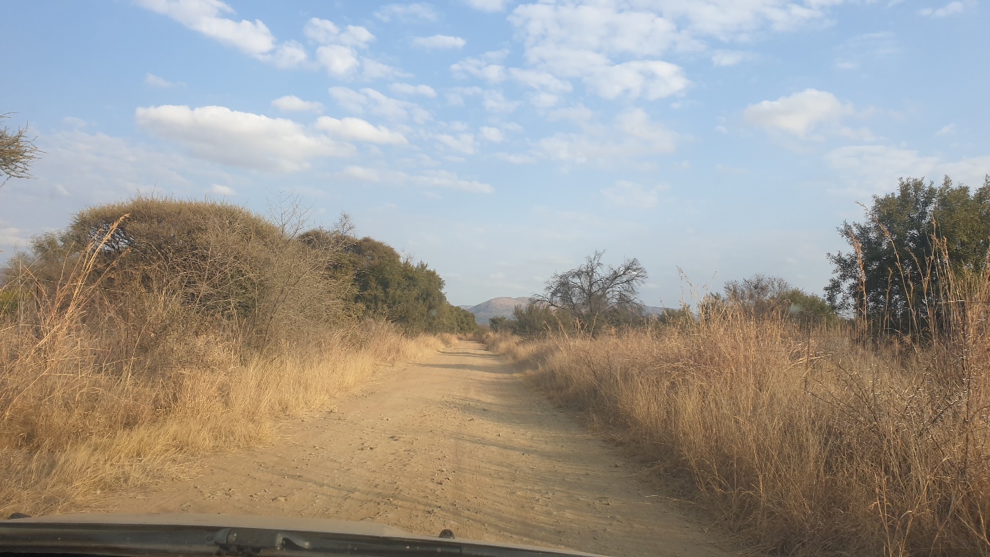
We had to make an online booking and reservation to secure our hiking spot at Rustig Hiking Trails. We would recommend that you make and confirm your booking way in advance as they have a limited number of slots available due to COVID-19 precautions that they put in place. To our knowledge, they restrict the number of hikers on the trail to 50 per day (please confirm this information with the venue beforehand). Once we had made our online reservation, we received a booking code which we gave the security guards upon arrival. Please note that this venue opens at 8 am during the winter months so make sure you take this into account if you plan on travelling there during this season. Please also have your drivers license on hand because you will be required to have it scanned by security before gaining entry into the venue. It’s also important to know that there is about a 6km dirt road to the venue, we drove a small car and it was able to get through just fine at a slow speed. Please take this into consideration when preparing for your drive to the venue.
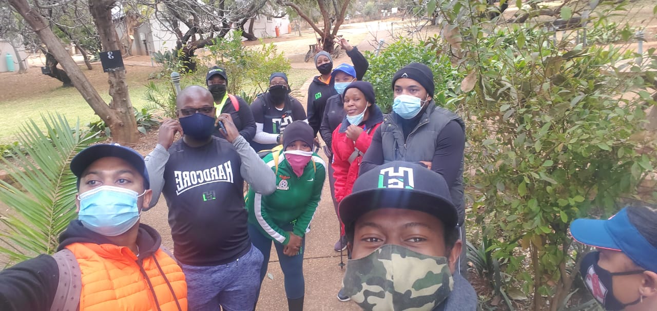
Once we had arrived, we parked our cars and made our way to reception to sign our team in. The reception is a lovely area that is stocked with drinks, snacks and pre-packed hiking snack packs which I would highly recommend. If you missed breakfast or are running late, they have an efficient snack pack that includes some cereal, milk, juice as well as a snack bar. Once we were signed in and purchased our snacks a few teammates made their way to their bathrooms to prepare for the long trek ahead. Their facilities are clean and well taken care of. Once we rounded up the troops, we were gathered up by a friendly staff member and briefed about the route ahead. Initially, some members wanted to complete the 5km but we were informed that was a different trail all together so we opted to complete the 9km and 13km respectively. I want to mention how warm and friendly the staff at this venue are from security, reception team, and the guide!
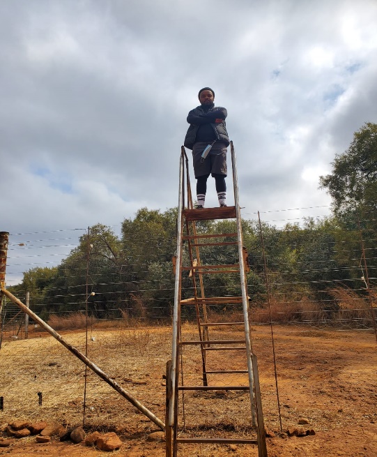
And we were off! Climbing over the first ladder on the trail let us know what we are in for on the path ahead. Our group enthusiastically continued on the trail through the mountains until we reached a crossroads. Since the group had initially split up into batches based on fitness levels, the group ahead decided to climb up and the group behind decided to go straight and we branched off. Looking back, our team should’ve read the map provided by reception to stay on the same path, but overall, the different trails worked out in the end. We embarked on the journey climbing through the mountains, the two different trails offered obstacles such as climbing over ladders, mountainside bridges as well as boulders that required you to climb over. As an additional bonus, we were able to see nature at its best, often sighting some baboons, small bucks, as well as eagles, soaring over the mountain tops.
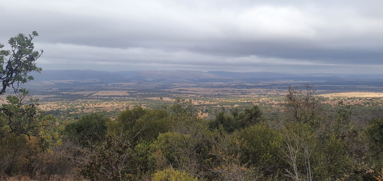
There is so much one can write about this trail, firstly the views on this hike are spectacular. From the bottom you can see the overarching mountains surrounding you, almost preparing you for the climb ahead. Secondly, the natural rocks and cave formations that you pass through on this path are so enchanting. If you are looking for great Instagram shots, we would highly recommend the bridge crossing as well as the natural cave midway through the route. And last but not least, the challenging aspect of this hike. I don’t think many of us were mentally prepared for how grueling this hike would be on our physical bodies. I would highly suggest that you stock up on appropriate snacks and make sure that you have enough water to remain hydrated. A good Samaritan on the hike also shared some Himalayan raw salt with one of our members to help restore electrolytes in their body during the hike as they were quite fatigued. During the hike, it's so important to refuel as much as you can because the trail can be quite difficult for beginner and intermediate hikers.
Let's get into the fun parts! Be prepared to do quite a large amount of climbing. Mentally prepare yourself to reach the mountain peak at least two times on the 9km hike. The first climb up, although challenging is quite exhilarating once you reach the top. This is not the first and last time you will climb to the mountain peak! Once you reach the top, you will make your way down the mountain and reach a point where you start to climb again. This climb will require you to use both your upper and lower body strength simultaneously. The rocks (which are more like boulders) are quite large and the steps can be spaced out quite a bit so remember to breathe and pace yourself accordingly. Getting to the top of the mountain (for the second time) after this challenging feat is quite an accomplishment. If you are completing the 9km hike it's almost smooth sailing from here on out with smaller climbs until the last descent to take you back to the start.
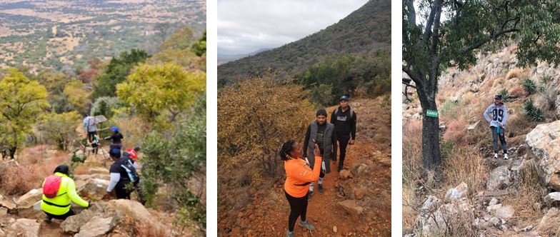
The point at which the hike branches off from 9km to 13km comes after a long walk through the mountain top. Should you choose to take the ‘chicken run’ or ‘exit route’ please note that it takes about an hour to reach the end. The rocks are also quite loose and it's easy to lose your balance so please be cautious whilst making your descent down. Some team members who decided to complete the 13km route shared that more areas required you to climb various rocks to reach the end. Additionally, there is a beautifully shaped rock carved out by nature called ‘shelter rock’. Seemingly, confused as a fitness playground for some of our Hardcore Hiking members it was a fun experience for the group. Overall, the hike took 5 – 7 hours for all our team members to complete. We would suggest that you plan to spend most of the day at this venue and take into account the 1-hour 20-minute drive from the Northern Johannesburg regions.
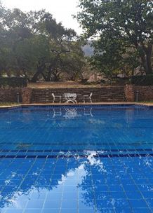
To end off, our team sat by the poolside reminiscing and sharing stories of how we conquered this mountain. We shared laughs, tears and most importantly encouragement for the day, on and off the trails which added to the unforgettable experience. Unfortunately, the venue was preparing for a wedding and their restaurant was closed. Some of our team members have eaten at this venue a few years ago and based on that experience would recommend having a bite to eat whilst overlooking the escarpment from the front porch.
For more information, please visit their website as well as social media sites: http://www.rustig.co.za/day-hikes-biking-trails-visitors/
Kloofendal Nature Reserve
Catherine Kapanga
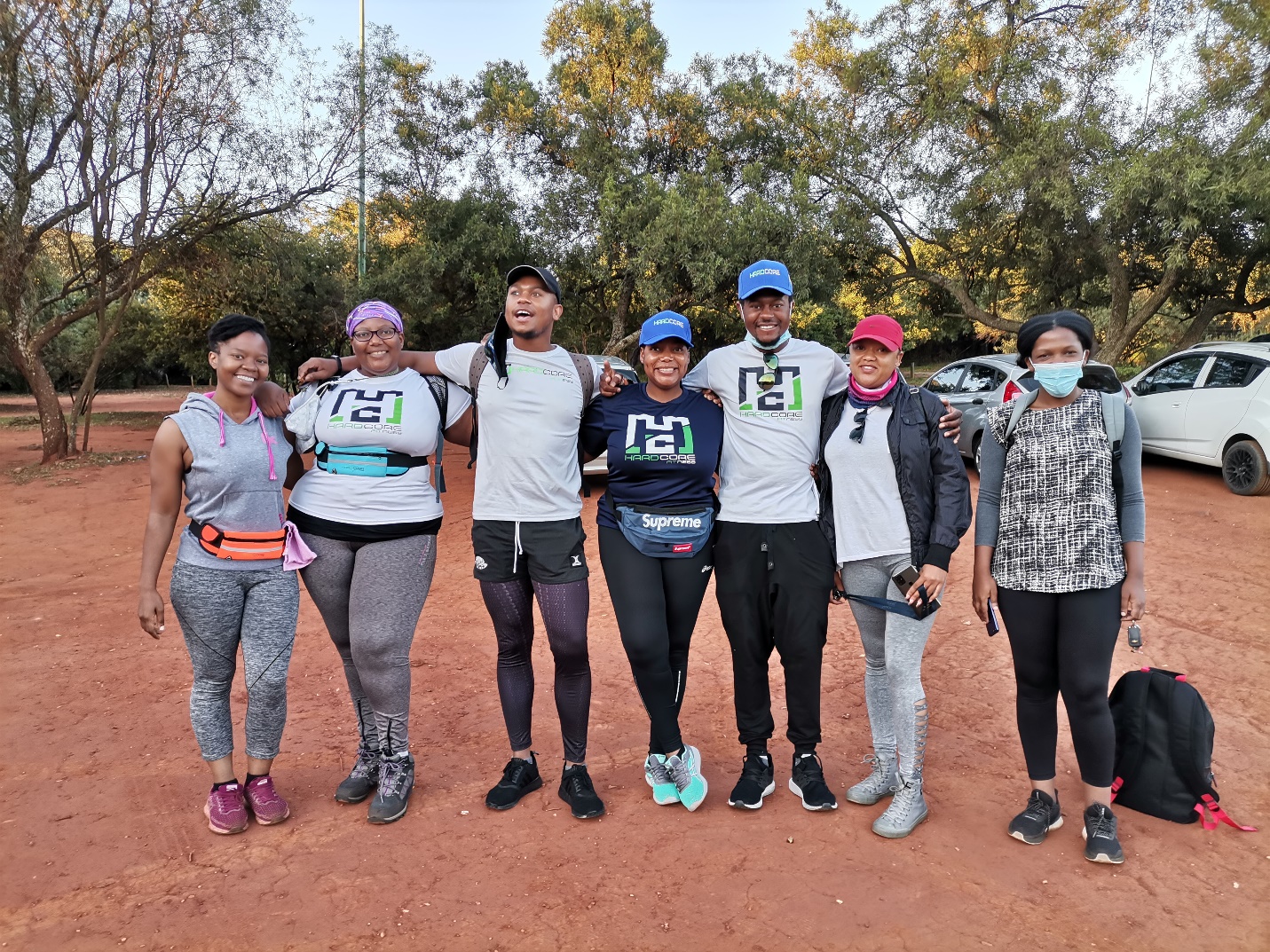
There are numerous trails on this property that range from easy to intermediate. The trail can be walked backwards if you want a more intensive workout.
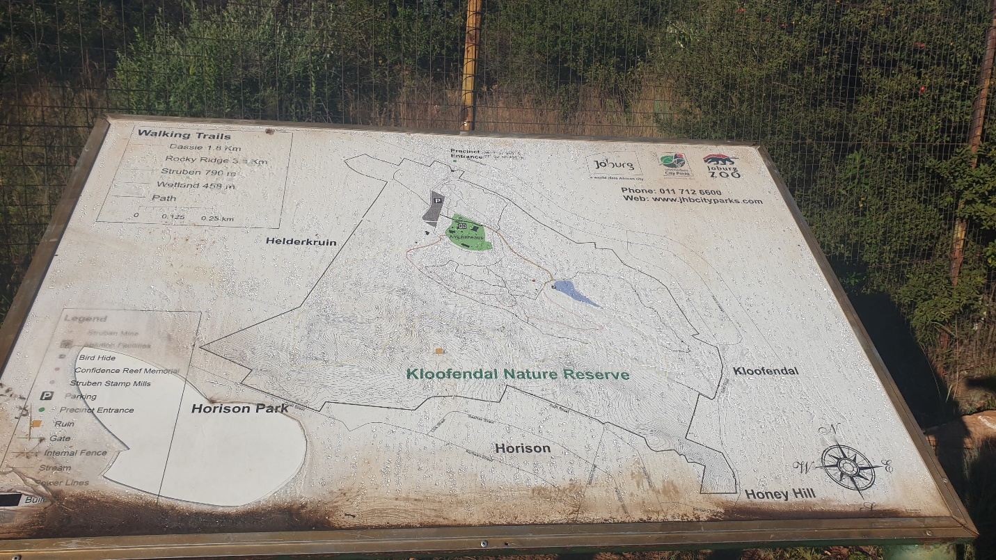
Nestled in the hills of Roodeport in a quiet residential area, our Hardcore Hiking Team stumbled upon this hidden gem. Not only is the entrance fee-free, but the nature reserve is also a historical landmark. The nature reserve is known as one of the first places that Gold was mined in South Africa. Large gold mining structures can be seen as you enter the gates to begin your hike and can be a great spot to get some of those Instagram snaps.
Our team has visited this venue two times throughout the past few months. It's both convenient and scenic for those who want a short break from the city. Our team arrived at the gate at 7 am to beat the Johannesburg sun and enjoy the strolls through the valleys. The hiking route was well marked and passed through various scenic points. The first point we came across was a small dam that overlooks the mountains in the distance. The bridge that connects two sides of the nature reserve was a great spot for our team to stop and explore. Once we were done, we weren’t too sure which route to take and chose to continue to the right.
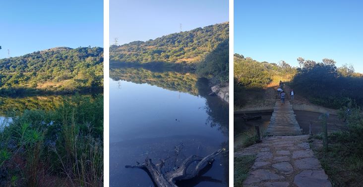
The hike has some areas where you climb up various gradients, but we wouldn’t say it's steep. You exert some energy but it's suitable for families and children. At the top of the first ridge, you can see a clear view of the horizon in the distance. This is also a great place to take in the views and spend time reflecting. As you continue on the trail, there are various rest points with benches that you can use to drink some water, catch up on conversations and gather your strength. From the benches, the route does take a bit of a technical turn, there are some areas where you climb up and down some rocks, however, after you pass these obstacles it's smooth sailing to the end.
The last stretch of the hike is both cooling and relaxing. You are enclosed in what seems like a forest area that is covered by trees. If you spent your time hiking in the sun, this part of the hike gives you some much-needed cooling and refreshment from the tree shades. The trail is quite flat and easy from here to the end, where you can make your way to the parking lot.
The venue does have bathroom facilities as well as an amphitheatre area which is not operational due to COVID-19. The security on duty that day made sure that our group was following COVID-19 regulations and social distancing and wearing our masks. Overall, we enjoyed this hiking venue and will be back in the future.
De Wildt Adventure Trails
Catherine Kapanga
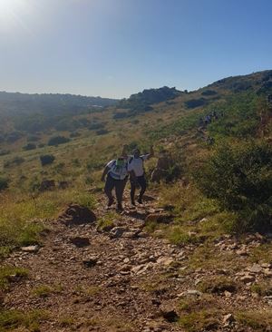
There are numerous trails on this property (6.5km, 9km, 12.5km and 18km) that range from moderate to difficult. There are steep climbs throughout that require strength and agility from the hikers.
Situated on R513 in Hartebeespoort, North West we found this hiking venue that’s known for adventure. The drive to the venue took just over an hour from Johannesburg, so be prepared for a short road trip before you hike. The drive there was quite scenic from passing the roadside Hartebeespoort markets as well as mountain views. After many long roads and turns, we finally arrived at the venue. Be on the lookout for the signboard marking the entrance so that you don’t miss the turn. The dirt road to the venue was short and well maintained and is suitable for low and small cars. Once we got to the gate, we gave the name that we made the reservation under. Please note that booking before arrival is mandatory and you have to complete and send in an indemnity form beforehand. Once we parked our car, we made payments, had a quick briefing on the routes and made our way.
From the car park to the actual start point of the hike, you have to walk about 500 meters until you arrive at what is known as the picnic area. In terms of facilities, this hiking venue has more than enough before the hike. There are clean bathrooms in the parking lot as well as the picnic area if you missed your chance to go when you arrive. The official start point of the hike starts and ends at the picnic area, be prepared for the extra short walk when you end your hike. As we started the hike, we were made aware of how well the route was marked out. There are numerous signboards as well as route markers throughout the hike that keep you motivated and informed. To date, this has been one of the best-marked routes we have hiked on.
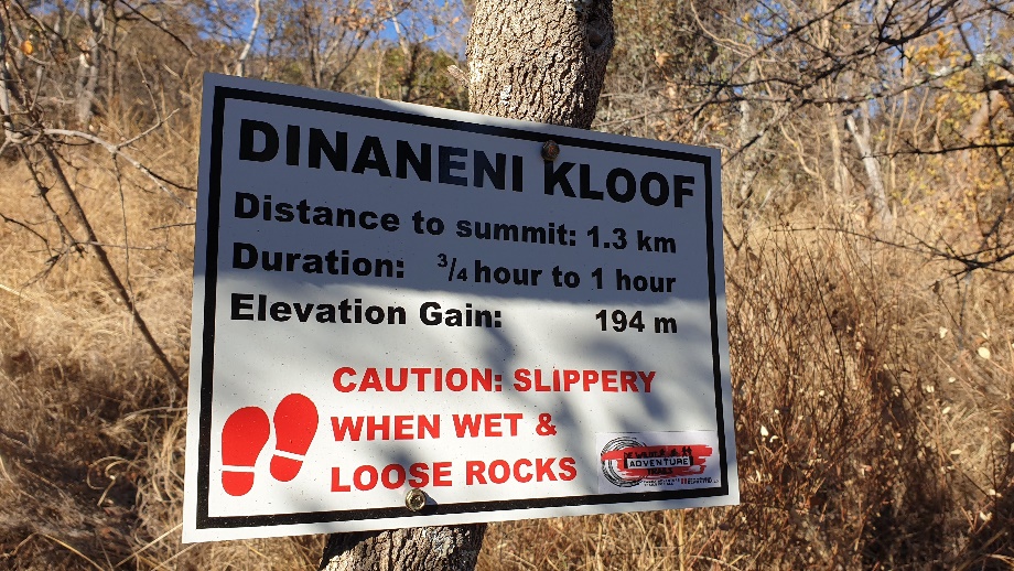
Before arriving at this venue, our team read reviews on what to expect before we arrived. One hiking blog had mentioned that the first 2km included a steep incline and thereafter the hike balanced out to be quite moderate. That was not the case for our team! As we approached the mountain, we saw climbers in the distance already making their way to the summit. Once we arrived at the start point of the climb up, the signage informed us that it was 1.3km to the summit and gave us an estimate of how long it should take us to complete this first feat. We soon realized that climbing to the summit would take us longer than we anticipated. Some areas are very steep and required us to move slowly and keep our balance as we navigated the rocky terrain. We appreciated that the climb up was not one straight walk up but looped into a maze-like direction that gave us time to catch our breath. We also took time to stop, take pictures and take in the views from the horizon.
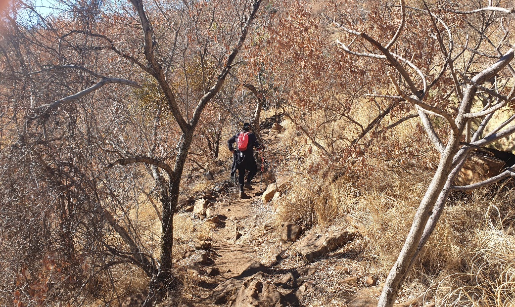
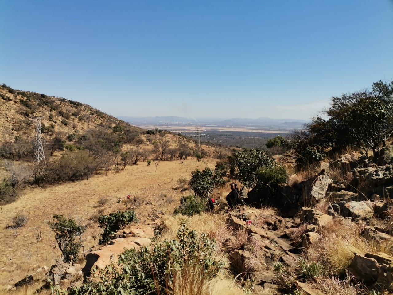
There were many times on the climb up to the summit that we thought we had reached the top, only to turn a corner and see signs prompting us to keep on climbing. Should you decide halfway up that you do not have the agility to continue with this hike, there is a well-marked chicken run that will lead you back to the start. For those who are brave enough to continue, we made our way until we had finally reached the summit. We took this opportunity to sit, relax and have some snacks before continuing our walk. The views from the first summit, although plain was not as scenic as we had hoped. I also believe that because we hiked during the dry season, that we didn’t get the best that the views can offer. I would be interested to see the views after the rainy season when the trees and flowers are in full bloom.
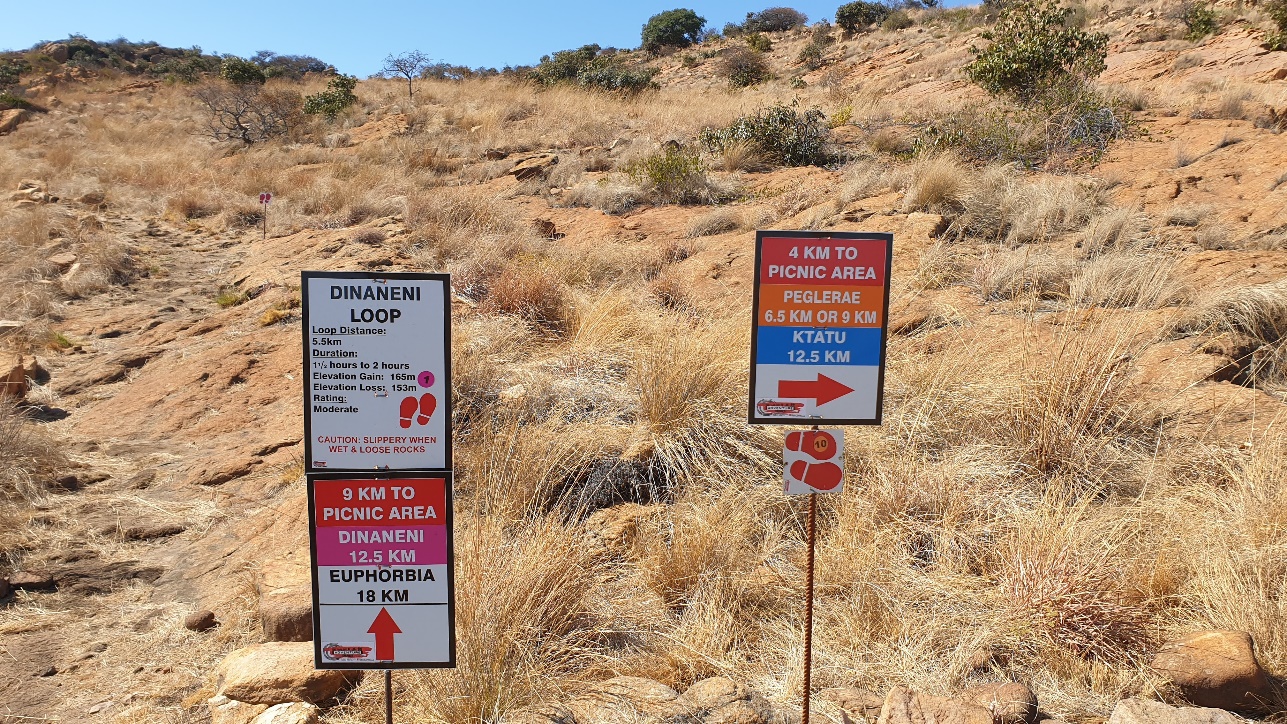
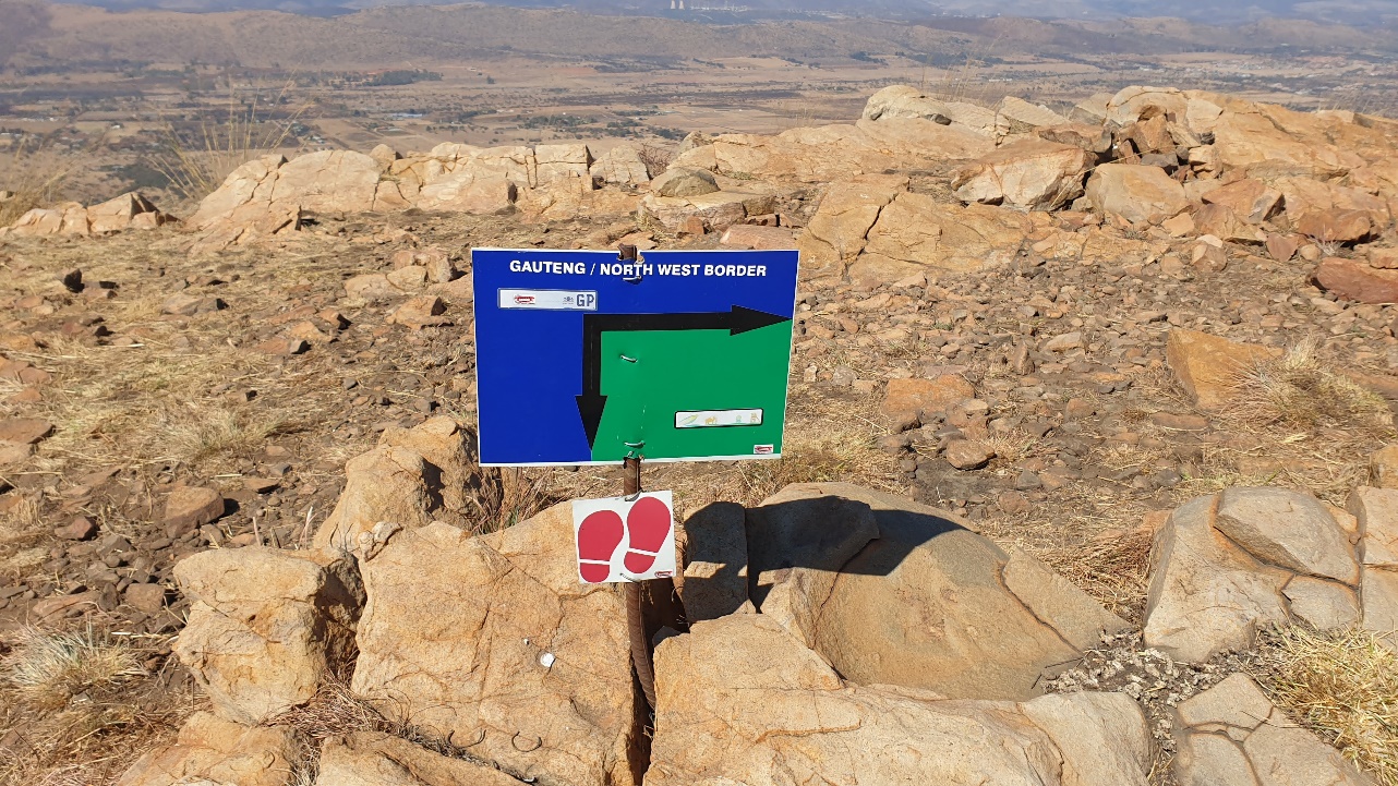
At the summit, we reached a roadblock that split the trail up in different directions. Please make sure that you know which route you are following to make sure that you do not get re-directed or lost. We had opted to do the 9 km PEGLERAE trail so we started walking to the right. We reached another viewpoint that marked the border of Gauteng and the North West border. From here you can see the Hartbeespoort dam and mountains that surround it in the distance. This is a great photo spot and we made sure to take in as many snaps before some of our phone batteries died. We continued our hike at the top of the mountain until we reached another crossroads. Here we could decide to exit the 9 km route or continue to complete the hike with the 12.5 and 18km hikers. After much deliberation, we chose to continue although we were feeling quite tired and challenged from the climbs so far.
As we continued, we bumped into some hikers who were completing the 18km hike. At this point, they had already completed the first 9km and were walking to complete the last 9km. At this point, we were concerned if we had taken the correct turn because there weren’t any markers showing us where to branch off from the long-distance hikers. Before we reached this communication, we saw some hikers in the distance climbing yet another steep mountain. This sight had us very concerned because we knew that physically we didn’t have another climb in us. Once we reached the bottom of the route, we saw a sign that calmed our nerves. The 12.5 and 18km hikers were set to climb that mountain and the 9.5 were to proceed back to the start (picnic area). This is also a place where long-distance hikers can choose to turn back if they are exhausted and have run out of supplies such as food and water.
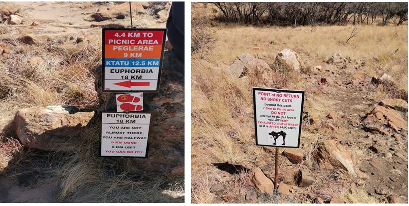
From this point, we had 4km to walk back to reach the start. In my mind, the walk back was pure descent and we did not have to do any more climbing. Mentally prepare yourself that although not steep, there are a few areas where you still have to climb up before you start the final descent. There was a sign that mentioned that there was only 2.3km left on the hike and it should take roughly 45 minutes to an hour. If you are not an experienced hiker, I advise that you take your time coming down from this point. There are steep declines that can cause falls or injuries if you are not careful. The walk down I would say was not that technical but did require you to watch where you are going and at times slide down to make sure you don’t injure yourself or miss a step.
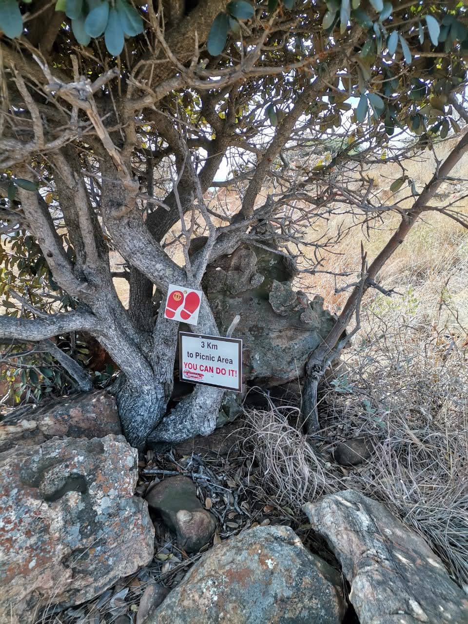
Reaching the bottom of the mountain was the best feeling ever! Our Hardcore Hiking team was filled with endorphins as we looked back at the mountain behind us. We had set a goal and went over and above it. Although the official route measurements said 9.5km all our fitness trackers recorded a distance of over 12km. We aren’t sure where these extra kilometers came from but we were pleased with our achievements. Once we got to the picnic area we ordered some food, sat down and reflected on the challenging journey we had just completed. At this point, although tired we were energized for the week ahead. Though I would not recommend this hike to beginners, it was one that we can look back on and feel a sense of accomplishment.
Cradle Moon Conservancy Trail
Catherine Kapanga
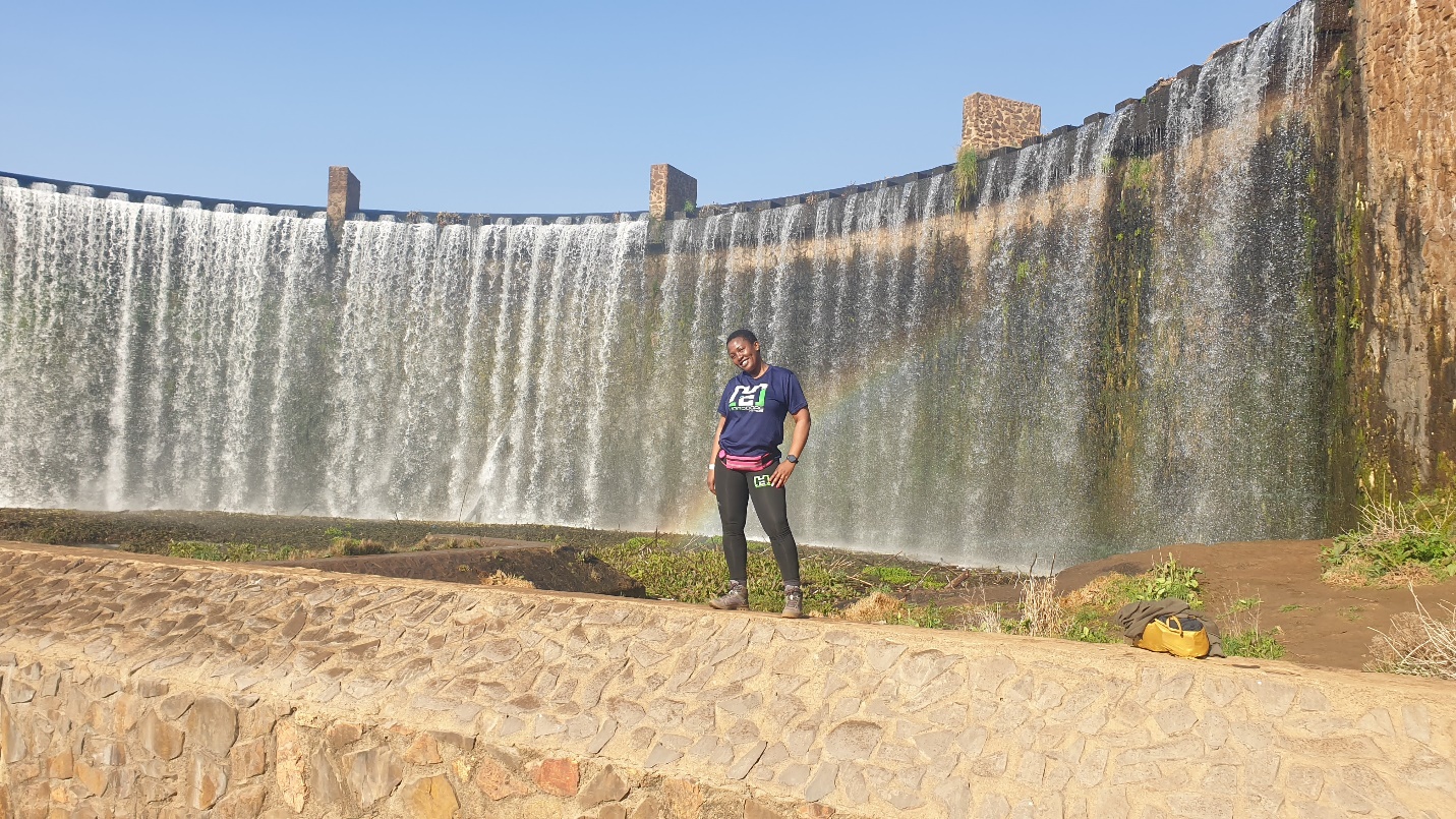
Our hardcore hikers stayed overnight at the 26 Degrees South Hotel and completed a hike as part of the activities offered by the venue. From the venue, the only trail that was provided was the 9.47km route which is the green trail.
Situated off Beyers Naudé Drive in Muldersdrift, the team booked a midweek hiking getaway at 26 Degrees South Hotel. One of the reasons that the team chose this hotel was that it offered a promising hiking trail through the Cradle Moon Conservancy. One of the top reasons the team chose this venue was because we had seen numerous pictures of the infamous Cradle Moon waterfall and we were excited to check it out and rate the route.
We set off at 7 am from the hotel lobby to start our hike through the conservancy. The start of the hike was about 1km from the reception and we made our way through the dirt road to find the route marker that officially started the hike. We had initially wanted to start hiking at 6:30 am to beat the sun and make it back in time for breakfast but the receptionist shared that 7 am may be too early. From experience, the sun had already risen so starting at 6:30 may have been a better option.
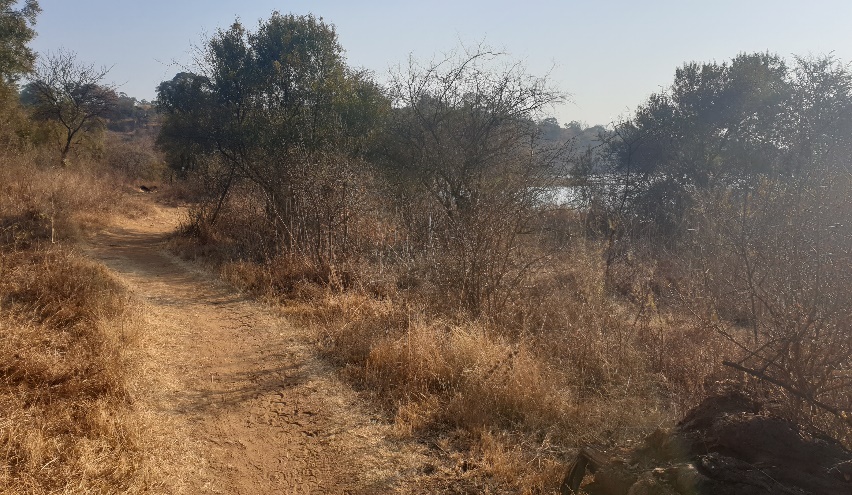
The route is very scenic and followed an easy path that is suitable for family and beginners. The path was well marked out and the team found it easy to navigate through the different terrains. On the route, we were able to take in the beautiful scenery with natural water features in the distance. At about 5km in, we heard the familiar sounds of a waterfall in the distance. We knew that we were getting close to the main drawing feature of the Cradle Moon hiking trail. I must say that we were not disappointed. Because we hiked during the week (Thursday morning) the venue was not filled with many people and we were able to take in all that the venue offered without crowds. We spent quite some time taking pictures and videos at this waterfall feature to show all our friends and family.
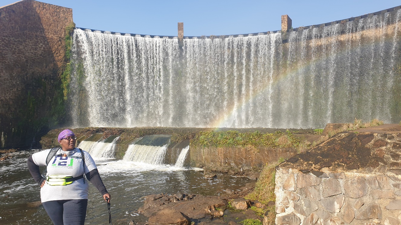
The sound of water splashing on the rocks and into the horizon was also quite calming for the group. The waterfall was showing off when we arrived and we could see a rainbow in the background. We would highly recommend this area if you like the sounds of nature with a view. At the waterfall, there is a restaurant area which has clean facilities to use if you are in need. There is also a mini beach area and what looked like a boat ride over the lakeside area. We were also able to see some impala grazing in the distance as we passed this area. We then started making our way back to the hotel from this area.
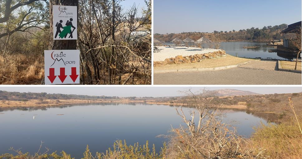
The hike back to the hotel is what I would call as adventurous. There were dips as well as small hills that we climbed as we continued our trek for the last 4km. There was also an area that is very you have to walk very close to the riverbank. Be mindful of where you step here because one misstep could have you falling into the water. After this area, we came across a ladder which we climbed into abandoned houses. This area is very picturesque and would be lush and green in the summer for amazing snaps! The trail then took us back through the abandoned house which gave the hiking trail an interesting feel. We then made our way over a bridge and walked back up the dirt road back to the hotel for a scrumptious buffet breakfast. Overall, the hiking trail paired with the hotel experience was a pleasant and memorable one.
